

During the 🏡 second confinement last year, we all (apart from those lucky mountain leaders and other sporting folk!) had to find 🏡 walks within a 1km radius from home . . . I was lucky to find one 🏔 local hike that adhered to the distance and time authorised (if I ran part of it, which iwas a major challenge for someone not keen on running! 😉), and which allowed for a tiny bit of height gain: 🌳 Les Golettes, La Vigne & La Fley, which either leaves from or ends in the centre of 🏛 Sallanches!
This hike – which is not quite a boucle – is perfect for people living in Sallanches, along the main road to Domancy, or on the Sallanches side of 💦 Lac de Passy! Along the way, you’ll encounter 🏃♀️ trail runners, 🐕 dog walkers, 🚶♀️locals strolling . . .
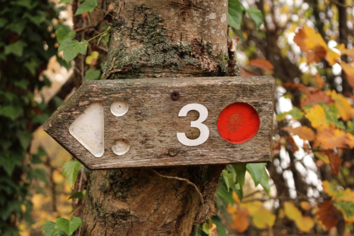
And, you’ll be following 🚵♂️ bike path 42 (a red track), so you could equally do this loop with a VTT or electric bike.
You’ll be treated to:
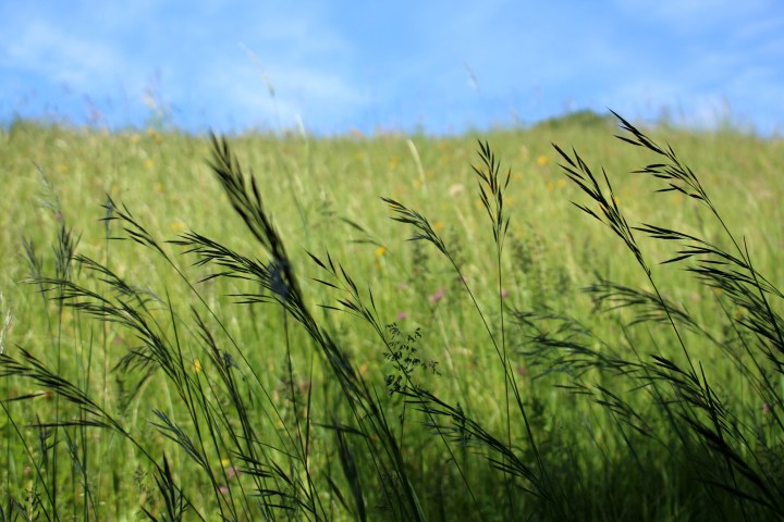
- 🍂 forest paths, which are magical at this time of year;
- 🏔 sporadic mountain views (Les Warens, Mont-Blanc);
- 🧗♀️ erratic granite boulders in the woods (blocs)!

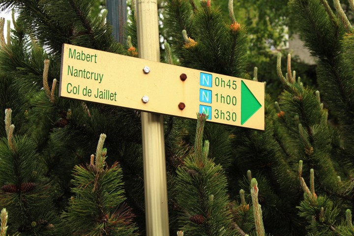
Hike Details
📌 start & finish point: route des Golettes (along main road D1212 route du Fayet) or the sentier pédestre opposite La Grenette (Sallanches centre);
🧭 distance: 4km;
⏱ duration: 1h30 (or faster if running or by bike);
🏔 dénivelé: 115m (Sallanches: 555m ⇒ La Fley: 670m);

Les Golettes
[ I personally start this hike at route des Golettes ] . . After about 10 minutes of slightly uphill walking, route des Golettes coninues steeply uphill (a sharp right turn) towards the route de Megève, so make sure ⬅️ to turn LEFT onto route des Fontanets, which then becomes clos des Bottoliers (you’ll see ➡️ signs directing you towards 🚵♂️ La Vigne, the piste cyclable) – these are all paved roads.
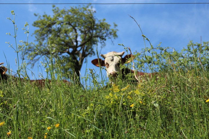
I really enjoy strolling along route des Fontanets and clos des Bottoliers, as you pass 🏚 old farms, 🐑 animals grazing in the fields, 🌷 flowers in gardens, and the views of ⛰ Les Warens are superb. You can see the 🚙 main road below, but you still feel a stillness, and a certain distance, up there. I used to hike along these paved roads when my boys were sleeping in their buggies!

I’ve walked this route during all seasons: 🌷 early summertime, when it is bursting with colour . . . On my autumn strolls, it was still very 🌹 colourful, and not just 🍂🍃 the autumn leaf colour palette (🌹 some roses blossom in autumn too!) . . . winter brings a magical light . . .
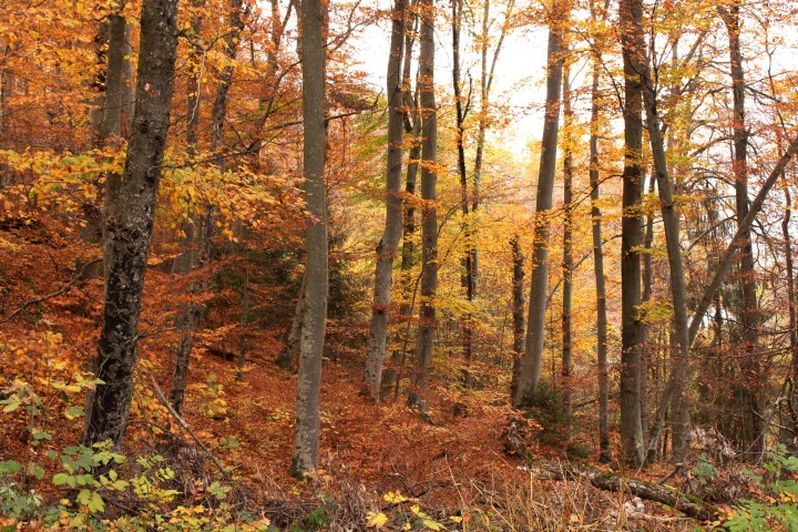
🍁 autumn colours in Les Golettes:


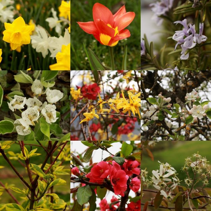
🌸 springtime flowers and colours in Les Golettes:


Les Bottoliers & La Vigne
At the end of clos des Bottoliers, you’ll see a beautiful 🏚 old grange, and here ➡️ you turn sharp right onto 🚵♀️ the sentier VTT / pedestres, indicated La Vigne.

The 🍂 autumn colours are splendid along this stretch . . .


You’ll see this cross on your left, and views of 🗻 the Mont-Blanc massif just behind!


🌸 springtime at La Vigne :


Route de la Vigne and main road crossing (route de Megève)
You’ll take the sentier pedestre (🚵♀️ red bike route 42; it’s not a really obvious cut-through path, so look out for the sign!), and after a few metres up, you’ll come out onto route de la Vigne, where ➡️ you turn RIGHT, and walk up to 🛣 the main road (route de Megève).
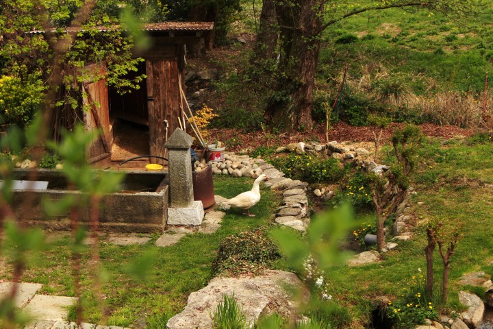
Just before you hit the main road, you’ll see this old shed. I was rather taken by it!


La Croix de la Mission
You’ll have to cross 🚙 route de Megève, and here be VERY careful, as you’ll be on a slight bend in the road, and the cars drive very fast up and down! You’ll have turned ⬅️ LEFT, up towards Combloux, and you’ll have to walk carefully along the main road (a pedestrian area is marked out) for about 20m, and then you’ll turn ➡️ RIGHT onto another sentier piétons (do NOT walk up the gravelly road that you come across after you cross the road – route de la pastorale – though if you do by mistake, it’s not a problem, as you’ll still join the correct path!).

[ ⇒ here are some photos of this stretch in late springtime 🌸springtime (and a Jedi knight) ]
 © montblancfamilyfun.com")
 © montblancfamilyfun.com")
If you take the right track, then you’ll happen across this at a crossroad of paths: La Croix de la Mission 1880 . . .


Above this, and you’ll be at the 🧗♂️ La Pesse forest, one of MBFF’s favourite playgrounds: scrambling, cabane-making, LandArt;


La Fley
At this mission cross, you ➡️ turn RIGHT, and you follow the signs towards La Fley.
The sentier pedestre turns into a paved road, route de la Fley, and you’ll now be walking through a residential area . . . After about 5 minutes you’ll come to 🚙 the ancienne route de Combloux, and here you need to cross the road (again carefully, as the cars come up and down this road fast, and you are crossing on a bend!), walk up the road for about 30m and then ➡️ turn RIGHT onto chemin de Fessy.
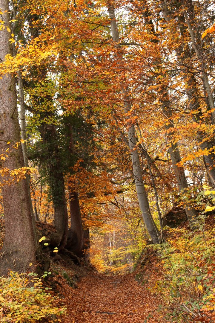
🍁 autumn colours along route de la Fley and chemin de fessy:


🌸 springtime flowers and colours along route de la Fley and chemin de fessy:

You’ll then follow ➡️ the signs to the centre of Sallanches, walking just below the 🌳 Bois de Fessy . . .

⇒ some 🌸 springtime 📷 photos of this stretch . . .


 © montblancfamilyfun.com")
Sallanches
If you start the hike from 🏛 the centre of Sallanches, then you’ll need to start by taking the sentier pédestre (chemin du Mont-Rosset) that heads up beside 🏦 the Crédit Agricole bank . . . this tarmac road takes you up past 🏡 private homes, to 🏢 the Mont-Rosset residence at the top of the hill . . .
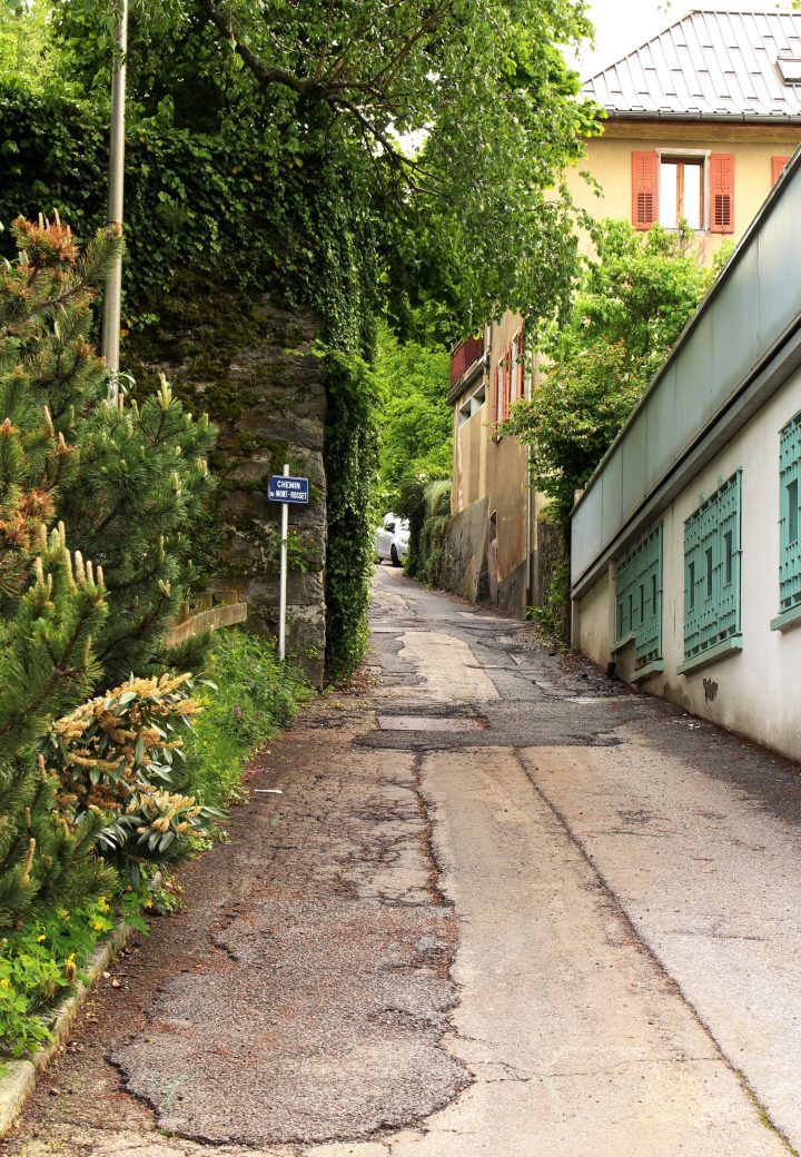
Chemin du Mont-Rosset is located just opposite 🏛 La Grenette, the old grain store of 🏛 Sallanches, made of local Combloux granite!


